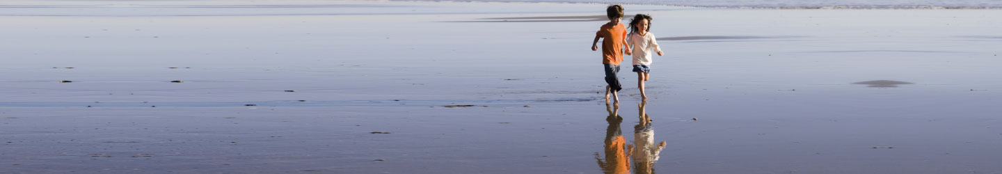

Policymakers, conservationists and scientists have high hopes that REDD, a mechanism for compensating countries for reducing emissions from deforestation and forest degradation, will spur a massive flow of funds to tropical countries, helping preserve rainforests and delivering economic benefits to impoverished rural communities. One of the biggest hurdles for the initiative has been establishing a baseline for deforestation rates — in order to compensate countries for "avoided deforestation" it first must be known how much forest the country has been losing on a historical basis. A new remote sensing satellite, known as ALOS, promises to improve remote assessment of forests, cutting through clouds and possibly even determining the amount of carbon sequestered in a particular tract of forest. These maps can be used to establish a credible baseline for REDD initiatives. With illustrations.